As Deep River Historical Society celebrates 75 years in the Stone House, thanks to the generosity of Ada Southworth Munson, the Society reflects on “75 bits of History.” We are offering families a summer challenge with weekly adventures for those willing to explore Deep River and its history.
Your first challenge is to find The Deep River. NO, not the town but the river that was named by the first settlers of this region. The river is six miles long and winds through the town from Winthrop to the CT River. You will discover that there are signs in many locations naming the river.
Here is how it works: Once you find the river or whatever the challenge is for the week – take a photo and post it on our Facebook page. Share it with your friends. At the end of each week, we will place the names of all who posted photos in a basket and pull a prize winner. This week’s prize will be a $10.00 gift certificate to the Nest. Prizes will change each week. On September 18th Family Day, the person with the greatest number of posts will win the grand prize.
If you need some hints…Keep Reading!
The source of The Deep River is in a swampy area near the Chester Airport. The river quickly crosses the Winthrop/Chester town line and meanders with many twists and turns for six miles downhill through the town. It finally flows into the CT River at the Chester/Deep River Town Line.
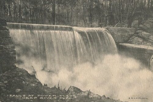
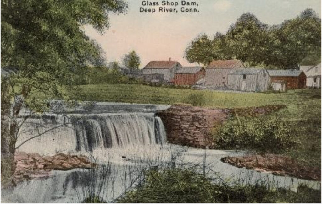
Once this was a formidable obstacle for travels to cross. Once this river powered more than 8 mills and factories at the same time. Today, it is little more than a small stream barely deep enough to cover your ankles. Only in the early spring can see the glimpses of the power it once had. The river is visible from several spots in town.

Shailer Pond in Winthrop is the first visible sign of the river. The next stop is at the Reservoir at the upper dam. Pratt, Read & Company built these dams to control the flow of water. At the bottom of Hemlock Drive, you can look West and see the water coming off of the lower dam. The water flows under Route 80 and comes out at the West Shop (also known as Esico Triton and more recently Pandemonium Thrift Shop). As the renovations finish on this project families will be able to walk along the banks of the river there. The river crosses the road again forming Rogers Pond. Calvin Rogers built that dam for his factory about 1828.

The river crosses the road again by the Deep River Fire Station meandering northeast. The river turns down Bridge Street where it is easily visible by the Deep River Library’s parking lot. You can stop at the Gazebo on Main Street and look down on Keyboard Pond or you could stop on the sidewalk by the bridge on Bridge Street and see the river as it passes behind the Whistle Stop Café. You can walk along Main Street as the Deep River flows behind Piano Works. The river crosses the road for the last time at the intersection of Winter Avenue and Route 9A (154). There are no visible remnants of the Sawmill that was here. The river flows into the Ct River at the Deep River/Chester town line. The best way to view that portion of the river is by boat. Safe travels everyone.


